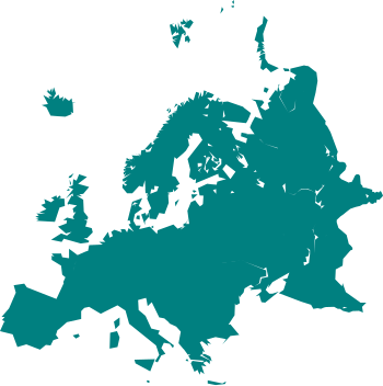
Litratu:Cartography of Europe.svg

Size of this PNG preview of this SVG file: 350 × 351 pixels. Other resolutions: 239 × 240 pixels | 479 × 480 pixels | 766 × 768 pixels | 1,021 × 1,024 pixels | 2,042 × 2,048 pixels.
Magåhet mineddong-ña (Atkibu SVG, 350 × 351 na pixels, mineddong atkibu: 13 KB)
Historian atkibu
Yemme' i fecha/ora para un li'e' i atkibu annai annok guihi na momentu.
| Fecha/Ora | Thumbnail | Mineddong | Muna'sesetbi | Komentu | |
|---|---|---|---|---|---|
| pa'go | 16:30, 21 Septembre 2024 |  | 350 × 351 (13 KB) | Est. 2021 | reduced file size |
| 13:59, 24 Matso 2021 |  | 350 × 351 (31 KB) | PastelKos | Reverted to version as of 23:02, 23 May 2020 (UTC) so as to match with the other "cartography of ___" maps | |
| 12:53, 21 Eneru 2021 |  | 350 × 351 (31 KB) | Est. 2021 | Reverted to version as of 15:33, 6 January 2010 (UTC) | |
| 23:02, 23 Måyu 2020 |  | 350 × 351 (31 KB) | Sittaco | Reverted to version as of 00:20, 12 September 2009 (UTC) | |
| 15:33, 6 Eneru 2010 |  | 350 × 351 (31 KB) | Hayden120 | Changed colour to blue; a colour commonly associated with Europe. It also matches the style of 'Portal:Europe' on the English Wikipedia. | |
| 00:20, 12 Septembre 2009 |  | 350 × 351 (31 KB) | TownDown | {{Information |Description={{en|1=x}} |Source=Own work by uploader |Author=TownDown |Date= |Permission= |other_versions= }} Category:svg |
Inachetton dokumento
Tåya' na påhina siha umachetton yan este na atkibu.


